Walking the Big Reef Shoreline
There’s a lot to see at Galveston Island’s East End, including sights I have covered in two previous blogs – “The doorway to Galveston Bay” (July 21, 2020) and “Notable ships fill this waterway” (November 11, 2024).
I now offer a third look at Galveston Island’s East End- sights while walking the Big Reef shoreline, the eastern most portion of the 700-acre East End Lagoon (EEL) Nature Preserve.

| Local Shore and Water Birds of the EEL | Steve Alexander |
Park at the east end of the seawall and look to your right at the sandy shoreline that stretches into the distance. That’s the Big Reef shoreline. That’s where you want to go, so to get there, hop in your car and drive down nearby Boddeker Road. Park where you see the large sandy area near the water.

| Prairie and salt marsh habitat | Steve Alexander |
But before you head out, cross the street and take in the EEL Nature Trail*. It’s only ½-mile long, but will give you an amazing view of local shore and water birds (photo) and the mix of coastal prairie/salt marsh habitat that comprises much of the EEL Nature Preserve (photo).

| Shoreline debris left by Hurricane Ike | Steve Alexander |
After your nature trail walk, cross back over the road and venture to your right down the Big Reef shoreline. But before setting out, take a moment to consider the tons of water that rush through here daily. Imagine being here when Hurricane Ike struck Galveston Island in September 2008 with winds of 110 mph and a storm surge of 15-20 feet. During the storm, a wall of water entered here, returning later with tremendous power, carrying with it a vast collection of inland treasures (photo).

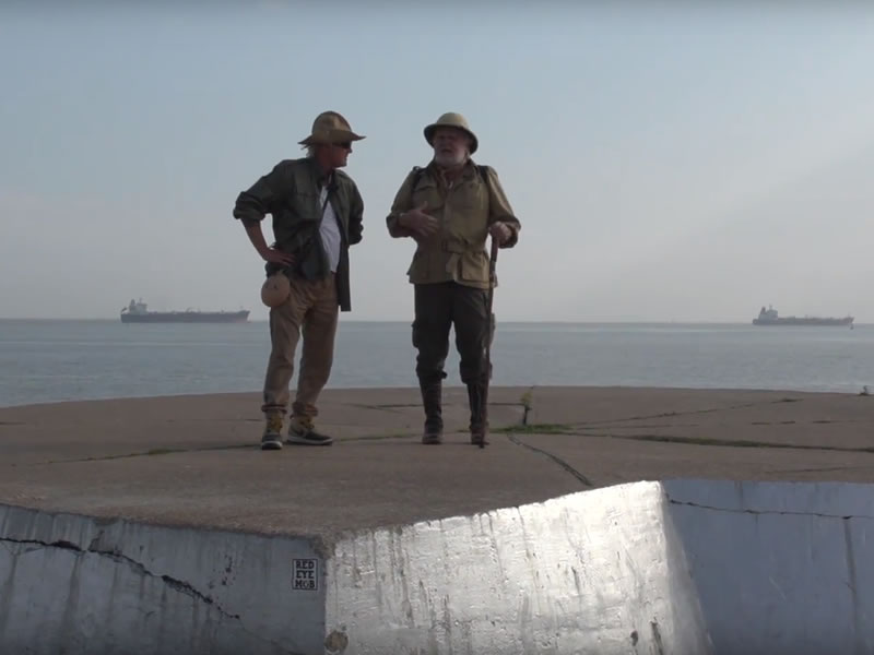
| View from the Big Reef shoreline | Steve Alexander |
I hope your walk is like mine- at low tide on a cool, sunny, windless day- enjoying this sandy shore stretching in the distance, with only breaking waves, water birds, and passing ships to keep you company (photo).

| South Jetty | Steve Alexander |
It may be worthwhile, if you’re up to it, to walk all the way to the jetty- it’s about a mile. There, you’ll see the entryway to the ship channel and to the right, a long rock jetty. This jetty is known locally as the South Jetty (photo) and once housed a lighthouse at its end. Its partner across the channel is called the North Jetty. Both are favorites of fishermen.
After taking in the scene at the South Jetty, it’s time to turn around and start your return trip. In the cool weather this time of year, sunning and swimming on the beach may be off your to-do-list. But this walk along the Big Reef shoreline shouldn’t be. Why not add it?
*During 2025, Galveston Island Nature Tourism Council (GINTC) offers free guided tours of this trail. Check their web site (galvestonnaturetourism.org) for tour times.

Eco-Art Kayak Adventure

Harmony of the Seas
Steve Alexander
Steve Alexander teaches wetlands management at Texas A&M University at Galveston and is a former member of the Board of Directors of the Galveston Island Nature Tourism Council. He is the author of Exploring Galveston: A Naturalist's Guide to the Island.